$8.00
Original: $26.66
-70%St Oswald's Way XT40 Harvey Map—
$26.66
$8.00The Story
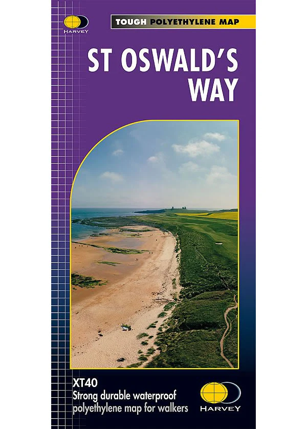
This is a complete map of the St Oswald's Way long distance path that shows the entire route on 1 map. The St Oswald's Way is 97 miles long that starts at Holy Island and finishes at Heavenfield. The St Oswald's Way goes through the Northumbria National Park, along the Northumberland Coast and passes through lots of beautiful countryside. This route links the St Cuthbert's Way in the north and Hadrian's Wall Path in the south.
The map includes logistical information for walking the St Oswald's Way, including accommodation options, shops and refreshments. Directions to the start of the route are included plus enlargements of the local towns and villages showing what facilities are available.
Harvey XT40 Maps are printed on light, waterproof and tear-resistant synthetic paper, and it is GPS compatible. The map key and legend is in English, French and German text.
Description
This is a complete map of the St Oswald's Way long distance path that shows the entire route on 1 map. The St Oswald's Way is 97 miles long that starts at Holy Island and finishes at Heavenfield. The St Oswald's Way goes through the Northumbria National Park, along the Northumberland Coast and passes through lots of beautiful countryside. This route links the St Cuthbert's Way in the north and Hadrian's Wall Path in the south.
The map includes logistical information for walking the St Oswald's Way, including accommodation options, shops and refreshments. Directions to the start of the route are included plus enlargements of the local towns and villages showing what facilities are available.
Harvey XT40 Maps are printed on light, waterproof and tear-resistant synthetic paper, and it is GPS compatible. The map key and legend is in English, French and German text.
The map includes logistical information for walking the St Oswald's Way, including accommodation options, shops and refreshments. Directions to the start of the route are included plus enlargements of the local towns and villages showing what facilities are available.
Harvey XT40 Maps are printed on light, waterproof and tear-resistant synthetic paper, and it is GPS compatible. The map key and legend is in English, French and German text.