Original: $27.99
-70%$27.99
$8.40The Story
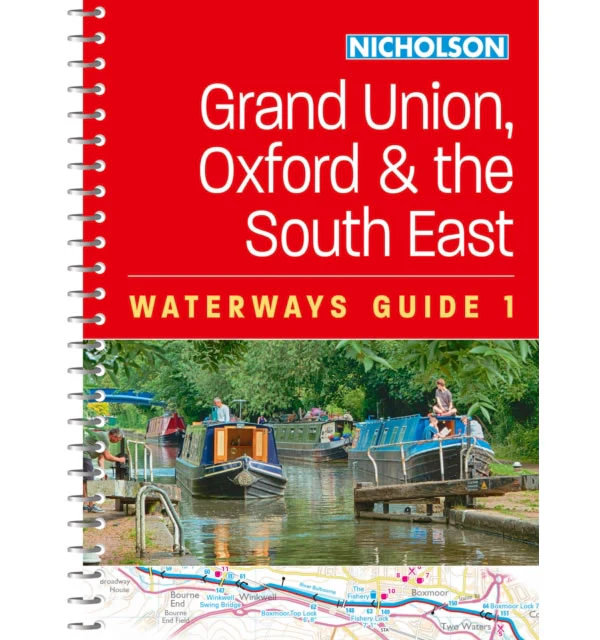
This Nicholson Waterway guide number 1 covers the canals and waterways between Birmingham and the River Medway, which are as follows:
1) Chelmer and Blackwater Navigation.
2) Grand Union Canal
3) Lee and Stort Navigations
4) River Medway
5) Oxford Canal
6) River Thames.
This practical A5 Grand Union, Oxford and South East England Waterways guide has 'lie flat' spiral binding. Nicholson Water Guides are designed for anyone and everyone with an interest in Britainís inland waterways, from experienced boaters to those planning their first boat trip. Using OS mapping they show the following information:
- Locks, bridges, tunnels, aqueducts, winding holes and towpaths.
- Waterpoints, sanitary stations, pump out facilities and refuse disposal.
- Boatyards, pubs, restaurants and local shops.
- Mile markers and milestones.
The text and comprehensive navigational notes include:
- The history and background to each canal.
- Local services and places of interest, pubs and restaurants and postcodes added for each place.
- Opportunities for walking and cycling.
- Notes on wildlife to be found along the waterways.
- Maximum dimensions and low bridges.
- Mileages, advice and potential hazards.
- Navigation authorities and contact details.
Published in February 2024.
Description
This Nicholson Waterway guide number 1 covers the canals and waterways between Birmingham and the River Medway, which are as follows:
1) Chelmer and Blackwater Navigation.
2) Grand Union Canal
3) Lee and Stort Navigations
4) River Medway
5) Oxford Canal
6) River Thames.
This practical A5 Grand Union, Oxford and South East England Waterways guide has 'lie flat' spiral binding. Nicholson Water Guides are designed for anyone and everyone with an interest in Britainís inland waterways, from experienced boaters to those planning their first boat trip. Using OS mapping they show the following information:
- Locks, bridges, tunnels, aqueducts, winding holes and towpaths.
- Waterpoints, sanitary stations, pump out facilities and refuse disposal.
- Boatyards, pubs, restaurants and local shops.
- Mile markers and milestones.
The text and comprehensive navigational notes include:
- The history and background to each canal.
- Local services and places of interest, pubs and restaurants and postcodes added for each place.
- Opportunities for walking and cycling.
- Notes on wildlife to be found along the waterways.
- Maximum dimensions and low bridges.
- Mileages, advice and potential hazards.
- Navigation authorities and contact details.
Published in February 2024.