Select Map Finish
From $21.31
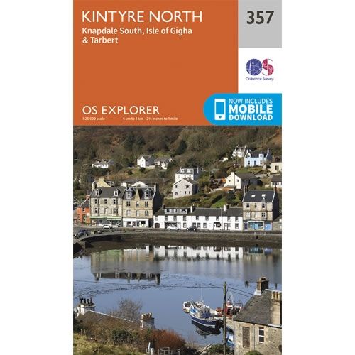
OS Explorer Map 357 - Kintyre North and Knapdale South—
$21.31
The Story
This OS Explorer 357 Map covers the northern part of Kintyre, including Knapdale South and the Isle of Gigha Tarbert.
The scale of this OS357 Explorer map is 1:25,000 where 4cm equals 1km, or 2.5 inches equals 1 mile.
With this map you will receive a code for a free mobile download onto your smartphone or tablet (iOS or Android).
The scale of this OS357 Explorer map is 1:25,000 where 4cm equals 1km, or 2.5 inches equals 1 mile.
With this map you will receive a code for a free mobile download onto your smartphone or tablet (iOS or Android).
Description
This OS Explorer 357 Map covers the northern part of Kintyre, including Knapdale South and the Isle of Gigha Tarbert.
The scale of this OS357 Explorer map is 1:25,000 where 4cm equals 1km, or 2.5 inches equals 1 mile.
With this map you will receive a code for a free mobile download onto your smartphone or tablet (iOS or Android).
The scale of this OS357 Explorer map is 1:25,000 where 4cm equals 1km, or 2.5 inches equals 1 mile.
With this map you will receive a code for a free mobile download onto your smartphone or tablet (iOS or Android).