Select Map Finish
From $5.21
Original: $17.36
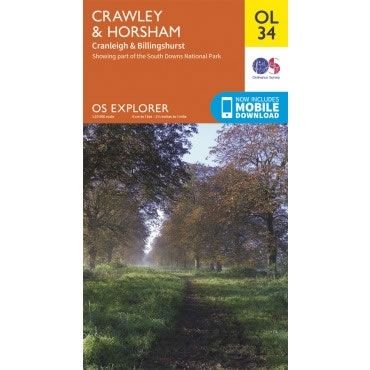
-70%OS Explorer Map OL34 - Crawley and Horsham—
$17.36
$5.21The Story
This OS Explorer OL34 Map covers Crawley and Horsham, including Cranleigh and Billingshurst. The map shows part of South Downs National Park, plus the River Ouse, River Arun, River Adur, Low Weald and the western area of High Weald.
The scale of this OL 34 Explorer map is 1:25,000 where 4cm equals 1km, or 2.5 inches equals 1 mile.
With this map you will receive a code for a free mobile download onto your smartphone or tablet (iOS or Android).
The scale of this OL 34 Explorer map is 1:25,000 where 4cm equals 1km, or 2.5 inches equals 1 mile.
With this map you will receive a code for a free mobile download onto your smartphone or tablet (iOS or Android).
Description
This OS Explorer OL34 Map covers Crawley and Horsham, including Cranleigh and Billingshurst. The map shows part of South Downs National Park, plus the River Ouse, River Arun, River Adur, Low Weald and the western area of High Weald.
The scale of this OL 34 Explorer map is 1:25,000 where 4cm equals 1km, or 2.5 inches equals 1 mile.
With this map you will receive a code for a free mobile download onto your smartphone or tablet (iOS or Android).
The scale of this OL 34 Explorer map is 1:25,000 where 4cm equals 1km, or 2.5 inches equals 1 mile.
With this map you will receive a code for a free mobile download onto your smartphone or tablet (iOS or Android).