Select Map Finish
From $21.31
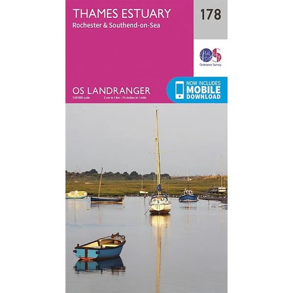
OS Landranger Map 178, Thames Estuary, Rochester and Southend-on-Sea—
$21.31
The Story
This OS Landranger Map 178 covers the Thames Estuary, including Rochester and Southend-on-Sea.
The scale of the map is 1:50,000 where 2cm equals 1km, or 1º inches equals 1 mile.
With this map you will receive a code for a free mobile download onto your smartphone or tablet (iOS or Android).
The scale of the map is 1:50,000 where 2cm equals 1km, or 1º inches equals 1 mile.
With this map you will receive a code for a free mobile download onto your smartphone or tablet (iOS or Android).
Description
This OS Landranger Map 178 covers the Thames Estuary, including Rochester and Southend-on-Sea.
The scale of the map is 1:50,000 where 2cm equals 1km, or 1º inches equals 1 mile.
With this map you will receive a code for a free mobile download onto your smartphone or tablet (iOS or Android).
The scale of the map is 1:50,000 where 2cm equals 1km, or 1º inches equals 1 mile.
With this map you will receive a code for a free mobile download onto your smartphone or tablet (iOS or Android).